The northOn Saturday, June 21, the longest day of the year, we drove up to Akureyri, on the north side of the island, and beyond it to Mývatn (see below), and then back, about 700 miles (1100 km) in 16 hours. |
|
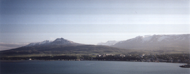
Akureyri ("Sandspit Field"), Iceland's second city, as seen from across Eyjafjörður ("Island Fjord"). We came to it through the valley in the back centre of the picture. Off to the left is the rather rugged Tröllskagi, the Troll Peninsula.
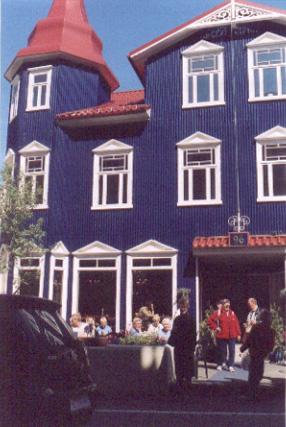
On Hafnarstræti (hap-nar-strai-ti, "Harbour Street") in Akureyri.
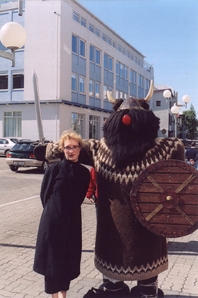
Further down the same street. (Yes, it's a statue.)
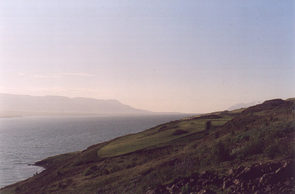
The other side of Eyjafjörður, taken on the way back, around 9 pm. At this point we're maybe 60 or 80 miles south of the Arctic Circle, and looking north.
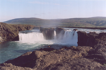
Góðafoss, "God's falls," where Þórgeir, the lawspeaker of the Alþingi, after deciding in AD 1000 that Iceland would officially become Christian and not pagan, pushed his idols over the waterfalls. Spectacular, eh? We were driving along a wide open plain, checking the guidebook, knowing these were around there somewhere, and then we hit a bridge and – hey! those were them, just upstream over there! That's Iceland all over for you.
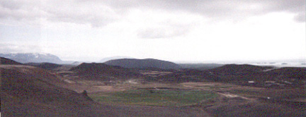
We got to a rather large lake called Mývatn, "Midge Lake," which indeed does have a lot of midges, plus a lot of rather scenic lava and some old craters and all that Icelandic stuff. And apparently a whole lot of ducks and so forth. This is a view from the northeast. You can just see the lake near the horizon in the background. Closer in the foreground is the Hringveginn ("The Ring Road"), Iceland's main highway, one lane each way and no shoulders. The speed limit is 90 km/h and most people drive more like 110 or 120.
More scenery just to the left of the picture above.
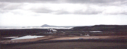
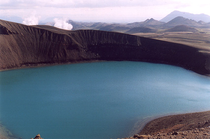
Víti, a crater lake, northeast of Mývatn. Steam in the background is from the geothermal power plant, the completion of which was delayed in the 1980s by an eruption of Krafla (pronounced "crap-la"), a rather unremarkable-looking thing but capable of pumping the lava forth prodigiously. The plant's a funny thing to look at – mostly it's steaming holes in the ground with pipes running from them.
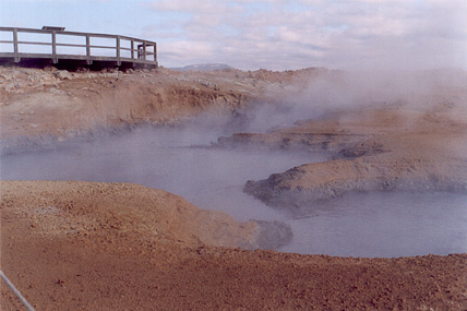
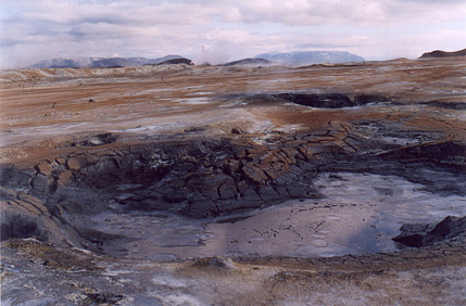
Between Viti/Krafla and Mývatn is Hverarönd (kver-a-reunt), which is a collection of boiling mud pots. Not for bathing in! Just a little stop by the side of the highway, not overrun with tourists. Great if you don't mind the smell, which is rather like rotten eggs boiled in stale urine.
More of the same, slightly tilted.
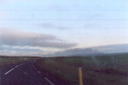
On the road back, around 11 pm, somewhere south of Húnaflói, looking towards the mountains of the West Fjords. Most of Iceland looks something in this vein. Minus the dirty windshield.
At midnight, we pulled over, still two hours from Reykjavík, in the Norðurárdalur ("North River Valley"), and took a photo as best we could. Actually, it does get a bit darker than this – because of Iceland's position in its time zone, the middle of the night is a bit after 1 am in western Iceland (they don't do daylight savings time, however). But in the middle of summer, it never gets actually dark. The sun's below the horizon just briefly. Of course, in winter, it hardly gets light. Icelanders seem a good deal looser about day and night. There are quite a lot of 24-hour establishments, given the country's population (about 280,000). And the term for "24 hours a day" is "alla sólarhringinn," which means "all of the sun's ring." Well, there it is. Iceland. You get the picture. |